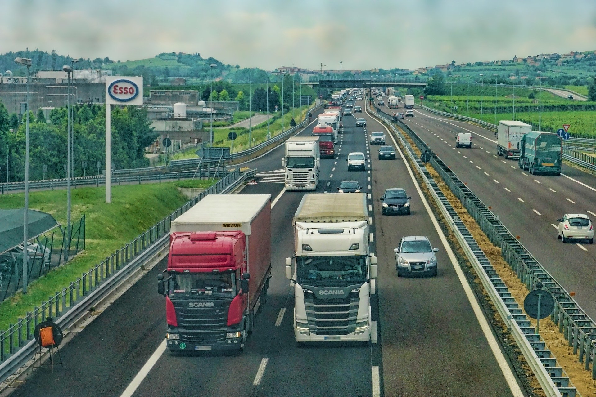
Vehicle Tracking & Fleet Management
Difficulty in Managing Your Fleet?
Our Tracking Solutions and Fleet Management software makes monitoring easy for you…
- Main Power Cut / Battery Disconnection
- Low Battery Status
- Idling State
- Ignition ON/ OFF
- Panic Button
- Over Speeding
- Over and Above Stoppages
- Immobilization / Engine Kill (depends on type of vehicle)
- Quick Reaction Patrolling Vehicle Selection
- Geo-Fencing
- Route Violation
- Unauthorized Stoppages
- Inside/ Outside Entry in Specific Area
- Route Planning
- Vehicle Location
- Field data collection capability
Our Standard SIMM based Vehicle tracking system allows tracking and controlling of vehicles via an online computer, smart phone, tablet, etc. on a 24/7 basis. Vehicle tracking systems make it possible to have an instantaneous and history tracking of vehicle speeds, the routes they followed, stopping points, idling times on maps providing a registry and check point with past and present reports.
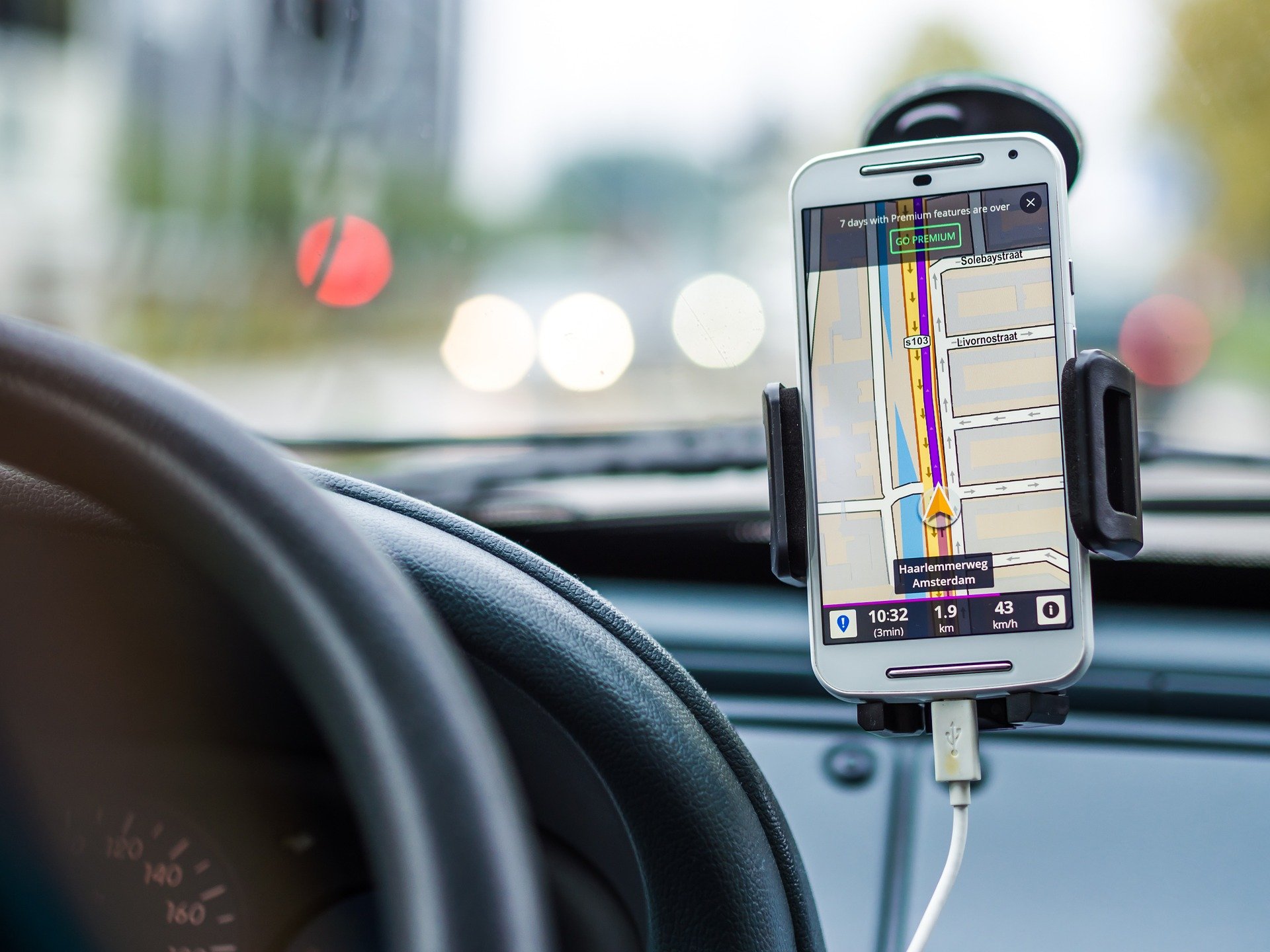
Basically, the vehicle tracking systems work in a loop of GPS, GSM/GPRS, digital maps and special software. Mobile data devices mounted on vehicles transmit two pieces of information they get from satellites – real-time when the satellite information was transmitted and position of the satellite in orbit at the time of transmission - and transmit telemetric information such as temperature to control and communication centers via the GSM/GPRS network. Information received as such are then compiled thanks to special software and recorded in a databank on servers. On the user side, vehicles can be tracked on their instantaneous and history records via a computer or a smartphone/tablet by using special software making it possible to visualize all information from vehicles, and to modify alarms and program statuses of vehicles. This structure forms the basis for functioning of the vehicle tracking systems.

Stay on top of operations from anywhere without the worry of Signal loss in Black Pockets (Dark Zones)
This is no ordinary tracking system. While traditional flight trackers are limited to using satellite networks, NLCSS revolutionized the industry by introducing a tracker that uses both satellite and cellular networks. What’s the benefit? Lower cost, greater safety.
How? Our clever dual-mode hybrid system uses inexpensive cellular networks when available, switching to more expensive satellite networks only when out of cellular range. Shifting between cellular and satellite is completely automatic. NLCSS Track app saves you money—and you don’t have to do a thing.
And lower costs allow you to track with greater precision. Because cellular networks cost less to use than satellite trackers, you can affordably increase the frequency of your updates. That enables you to monitor aircraft/vehicles with pinpoint accuracy—accuracy that, in an emergency, could save lives.
- Equipment tracking anywhere in the world
- Boundary and geofencing with automated alerts
- Stop and idle time reports
- Engine hour reports
- Temperature, oil pressure, and other special condition alerts
- Dual operation mode GPRS and Satellite to reduce cost
- Smart antennas for easy installation
- Battery back-up providing power for continued operation
- Increased employee productivity
- Improved utilization of the equipment
- Better predictive maintenance
- Detailed job costing information
- Reduced fuel usage
- Reduced insurance costs
- Reduced risk of theft and expedited equipment recovery